
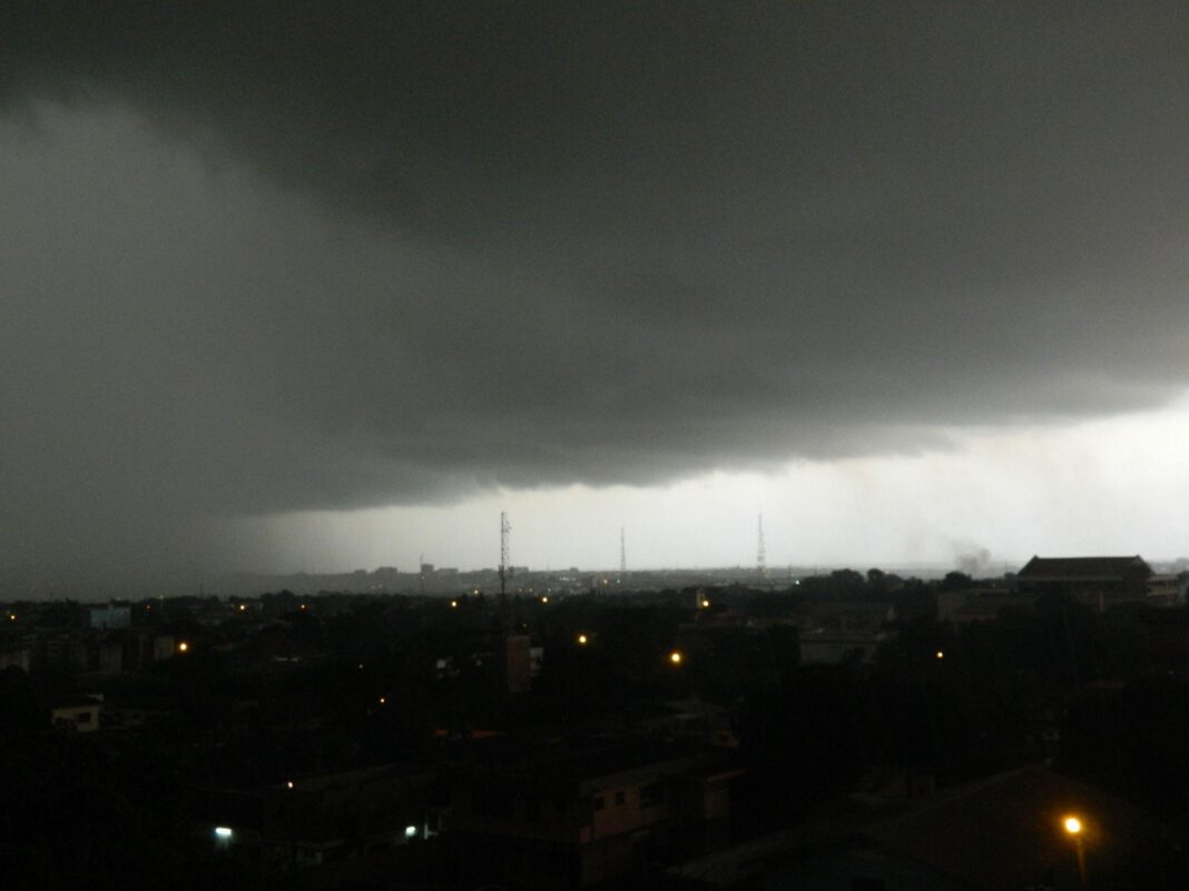

The Ghana Meteorological Agency (GMet) has issued a detailed weather outlook indicating that several parts of Ghana will experience thunderstorms and rainfall today, as an active rainstorm system located along the Nigeria–Benin border gradually shifts westwards into the country.
According to the agency’s 18-hour forecast, the weather system is expected to intensify as it moves, bringing with it widespread thunderstorm activity and rainfall of varying intensity, particularly over the northern and transition zones from late morning through the afternoon hours.

GMet reports that early morning conditions across most regions will be characterised by predominantly cloudy skies, with patches of mist and fog forming over coastal, forest, and highland areas. These early visibility reductions are expected to improve as the morning progresses and surface temperatures begin to rise.

The agency further indicates that light to moderate rainfall may occur in select coastal communities during the early hours of the day before atmospheric conditions become increasingly unstable, setting the stage for more widespread convective activity.

As the day unfolds, sunshine is expected to alternate with thick cloud build up across many parts of the country, eventually giving way to thunderstorms accompanied by rainfall extending into the afternoon and evening hours.
The northern sector is projected to experience the most significant impact from the advancing system. Cities and towns including Tamale, Yendi, Bolgatanga, Nalerigu, Wa, and Damongo are expected to record thunderstorms beginning from the morning and persisting through the afternoon. Similarly, communities within the transition belt such as Kete Krachi, Atebubu, Ejura, and Kintampo are also forecast to be affected later in the day as the system spreads southwards.

In southern Ghana, including areas such as Accra, Aflao, and Anloga, only light morning showers are expected initially. However, inland and coastal urban centres such as Takoradi, Cape Coast, Kumasi, and Obuasi are likely to remain under mostly cloudy conditions before thunderstorms develop later in the afternoon and evening.
Temperatures are expected to remain relatively warm despite the instability in the atmosphere, with maximum readings projected to reach about 30 degrees Celsius along coastal areas and rising to approximately 35 degrees Celsius in parts of the north. Minimum temperatures are forecast to range between 22 and 23 degrees Celsius across much of the country.

GMet has also cautioned that marine conditions will remain rough, advising fisherfolk, boat operators, and others engaged in maritime activities to exercise heightened caution due to increased risk on the sea.

The agency is urging the general public, especially residents in the northern and transition zones, to remain alert to rapidly changing weather patterns, while motorists are advised to take extra care on roads affected by early morning mist and reduced visibility conditions.
Overall, the forecast underscores a day of dynamic and unstable weather conditions across Ghana, driven by a regional storm system with the potential to generate widespread rainfall activity and localized disruptions.